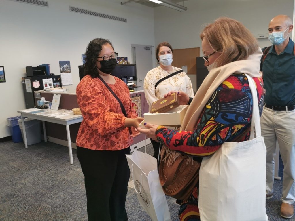
Geospatial technologies are critical for Kazakhstan’s agricultural sector to become more efficient and globally integrated. Through the U.S.-Kazakhstan University Partnerships program, funded by the U.S. Embassy in Kazakhstan and administered by American Councils for International Education, Monroe Community College (MCC) and Kazakh Agrotechnical University (KATU) are using geospatial technologies to identify wheat disease in Kazakhstan.
KATU and MCC faculty launched their collaboration on scientific papers and joint presentations. Three geospatial information science and technology students from Monroe Community College completed virtual internships with Dr. Aigul Bekbayeva focused on identifying areas of stressed vegetation and wheat disease using remote sensing. MCC faculty visited Kazakhstan to collect data to verify remote sensing analysis.
In addition to student exchange and joint research, the partners are exploring setting up a Collaborative Online International Learning (COIL) virtual exchange program to connect Monroe Community College and Kazakh Agrotechnical University faculty and students to build scientific expertise.
